
Home
Downloads
2014+
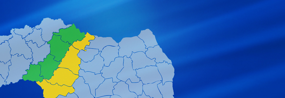


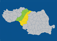
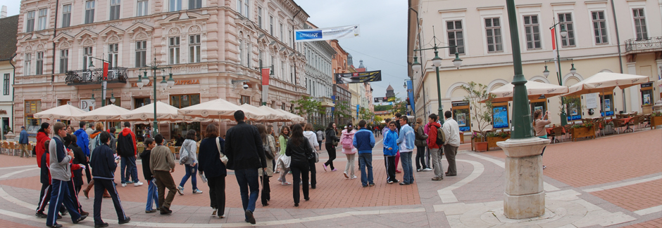
The eligible border area covers the South-Eastern and Eastern part of Hungary and the North-Western and Western part of Romania. It consists of four neighbouring counties in Hungary and in Romania, respectively.
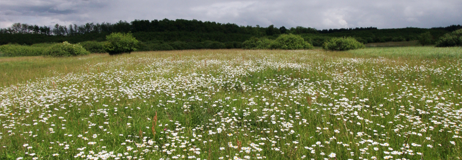
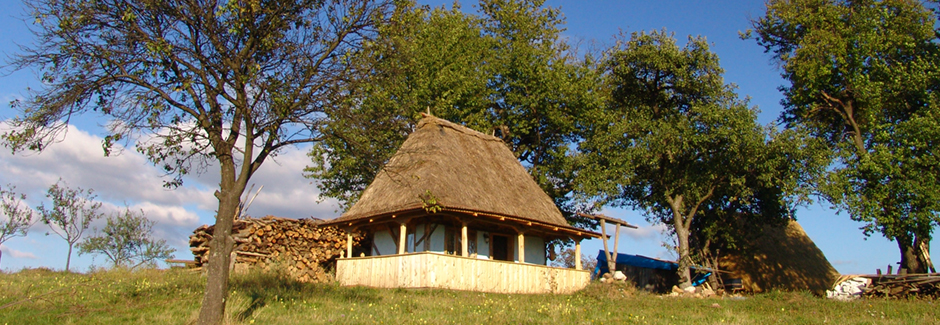
Geographically, the programme area belongs to the Carpathian Mountains and Carpathian Hollow; the total area of the Hungarian side is part of the Hungarian Great Plain, while the Romanian area includes all forms of terrain: the Romanian Western Plain, the Western Hills and a small part of the Western Carpatians Mountains (Muntii Apuseni).
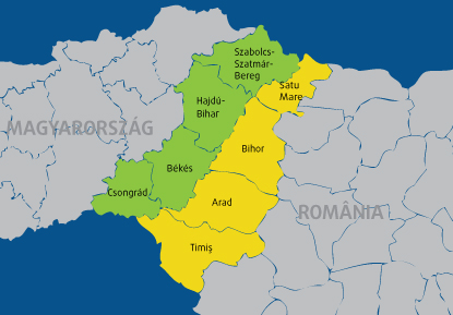
A number of rivers cross the border counties, originating from Romania and flowing into the Tisa in Hungary, (Mures, Crisuri, Barcãu and Somes). These rivers link the neighbouring counties, thus offering specific opportunities for cross-border co-operation. The total lenght of the state border is 448 Km, out of which 415,8 km is terrestrial, and 32,2 km is fluvial border (on the Mures, Cris, Somes rivers).
The eight counties have a total surface of 50.454 km2, of which 43,7% Hungarian and 56,3% Romanian area. The Hungarian territory is 23,7% of the total surface of Hungary, and the Romanian part is 11,9% of Romania. The total population in 2004 was more than 4 million, of which slightly less than half lives in Hungary, and slightly more than half lives in Romania.
 RSS
RSS